Overbrook, northeast of downtown along East North Street, is in ZIP 29607 and zoned for East North Street Academy and Greenville Middle Academy.
Last checked Oct. 16, 2026. Sources: the City of Greenville’s neighborhood association list and GIS layers (preservation overlays, special emphasis neighborhoods, National Register sites, address points, parks); Greenville County Schools’ Find Your School; the state’s 2025 school report cards; Zillow Research; Greenlink’s published GTFS schedule; and OpenStreetMap.
Overbrook is a residential area northeast of downtown around East North Street and Overbrook Road, mostly older single-family houses with some apartment buildings. The city maps an Overbrook preservation overlay district inside it and lists both an Overbrook Neighborhood Association and an Issaqueena Park Neighborhood Association among its neighborhood associations.
What this means for you
- Zoned high school: split among Greenville Senior High Academy, Eastside High and Wade Hampton High. Check yours with Find Your School.
- Home value: $385,351 in ZIP 29607 in September 2026, according to the Zillow Home Value Index.
- Nearest interstate exit: I-385 exit 42 (U.S. 276, Stone Avenue), about 0.7 miles by road.
Part of our Greenville neighborhoods guide.
Where it is
The city does not draw a single boundary for Overbrook, so this guide uses the Overbrook place point in OpenStreetMap and the area within about 0.4 miles of it inside city limits. That is about half a square mile with roughly 810 residential addresses in the city’s address file: about 570 single-family houses and about 240 apartment or condo units. All are in ZIP code 29607 and all inside city limits, so the city provides police, fire and trash service.
City layers inside it:
- The Overbrook preservation overlay district, where exterior changes go to the city’s Design Review Board.
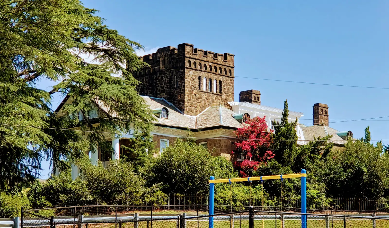
- Isaqueena, a house listed on the National Register of Historic Places on July 1, 1982.
- Part of the city’s Greenline-Spartanburg special emphasis neighborhood, which has its own neighborhood plan.
Schools
We looked up 40 residential addresses spread across the area in Greenville County Schools’ Find Your School tool for the 2026-27 school year; 39 returned zones. Ratings are the overall ratings on the 2025 state report cards.
| Level | School | Addresses | 2025 rating |
|---|---|---|---|
| High | Greenville Senior High Academy, 1 Vardry St. | 19 | Excellent |
| High | Eastside High | 15 | Excellent |
| High | Wade Hampton High, 100 Pine Knoll Drive | 5 | Excellent |
| Middle | Greenville Middle Academy, 339 Lowndes Ave. | 39 | Good |
| Elementary | East North Street Academy, 1720 E. North St. | 39 | Average |
The state’s scale runs Excellent, Good, Average, Below Average and Unsatisfactory. Because the high school zone splits inside the area, look up the exact address. More in our schools guide.
Home values
The typical home value in ZIP 29607 was $385,351 in September 2026, up 1.29% from $380,452 in September 2025, according to the Zillow Home Value Index. The index is a modeled typical value for the middle third of homes, not a sale price, and 29607 stretches well east of Overbrook, past Haywood Road and Woodruff Road. The citywide figure was $328,460, up 1.62%. More in our home prices guide.
Parks and trails
From the city’s parks list and parks map, inside the area:
- David Hellams Community Center, 111 Spartanburg St., with the park beside it. See the city’s community center page.
- Hessie T. Morrah Park, 211 Overbrook Road.
- East North Street Park.
- Railroad Mini Park, 32 Becker St.
- Timmons Park, 121 Oxford St., on the edge. See the city’s Timmons Park page.
More in our parks and trails guide.
Getting around
- Interstate: I-385 exit 42 (U.S. 276, Stone Avenue), about 0.7 miles by road, or exit 40 (S.C. 291, Pleasantburg Drive), about 1.8 miles, by the exit numbers in OpenStreetMap.
- Downtown: about 1.7 miles by road to Main Street at Washington Street.
- Airport: about 14 miles by road to GSP International Airport. These are distances on the OpenStreetMap road network, measured with the OSRM routing engine, not drive times.
- Greenlink: Route 509 E North stops inside the area, and Route 508 Wade Hampton stops just outside it, according to Greenlink’s published schedule data.
More in our getting around guide.
Groceries and everyday stores
From OpenStreetMap: Harris Teeter, 100 Wade Hampton Blvd., on the area’s western edge.
How we drew this area
Overbrook has no single official boundary. We used the OpenStreetMap place point and a radius of about 0.4 miles, inside city limits, minus the areas that have their own pages. Counts and ZIP codes come from the city’s address points; school counts from 39 addresses checked in Find Your School on Oct. 16, 2026. Store and place locations are © OpenStreetMap contributors.
Frequently asked questions
Is Overbrook in Greenville a good place to live?
Here are the facts. Overbrook is a mostly single-family area northeast of downtown with about 810 residential addresses, a city preservation overlay district and four city parks inside it. Every address we checked is zoned for East North Street Academy and Greenville Middle Academy, rated Average and Good on the 2025 state report cards. Zillow put the typical value in ZIP 29607 at $385,351 in September 2026.
What high school is Overbrook Greenville zoned for?
It is split. Of 39 addresses we checked in Find Your School for 2026-27, 19 are zoned for Greenville Senior High Academy, 15 for Eastside High and five for Wade Hampton High, all rated Excellent. Check an address before you enroll.
What ZIP code is Overbrook in Greenville?
- Every residential address point in the area we mapped carries that ZIP code.
Is Overbrook a historic district?
The city maps an Overbrook preservation overlay district, where exterior changes go through design review. The house called Isaqueena, inside the area, was listed on the National Register of Historic Places on July 1, 1982.
Have your say